hubermedia documentation 2015 html
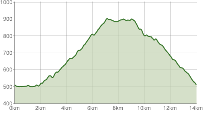
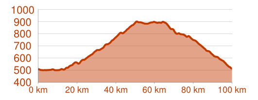
eT4® META - ElevationProfile (obsolete)
| eT4® META > eT4® META - ElevationProfile (obsolete) |
| Parameter | Type | Description |
|---|---|---|
| e (-> eT4.META-search:experience) | String | The experience specifies the name of the project data pool to be used. (obligatory) |
| id | String | Hashlink of tour. Either id or localid has to be filled to determine the tour that should be analyzed. |
| localid | String | Localid of tour. Either id or localid has to be filled to determine the tour that should be analyzed. |
| m | String | Mode. Available values: ep, epcustom |
If mode is epcustom, there are more parameter that can be used to customize the elevation profile: (note, that in this mode it's only possible to use "localid")
| Parameter | Type | Description |
|---|---|---|
| mepchs | String | Width / Height |
| mepchf | String | Background-information |
| mepchco | String | Line-color |
| mepchma | String | Offsets |
| mepchls | String | mepchls |
| mepchm | String | Color of area below line |
| mepchxt | String | Axis |
| mepchxs | String | Axis configuration |
| mepchg | String | Vertical lines configuration |
Check out more samples at our API-Explorer: http://developer.et4.de/explorer/?samples=true